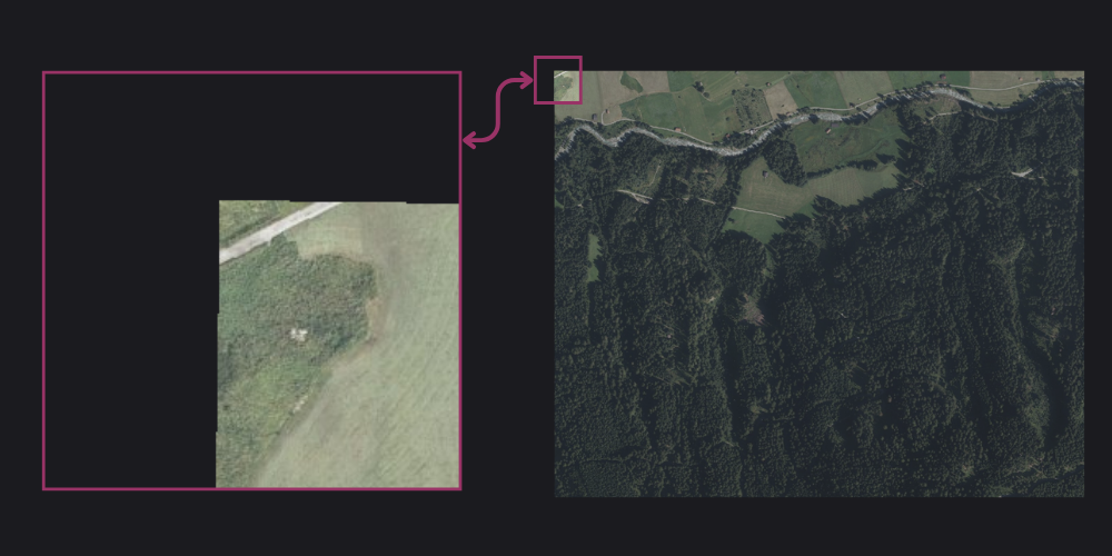
I’m excited to share my latest project: Tiler API – a robust API service designed to handle map tile generation and processing. This tool bridges the gap between raw geographic data and the tile-based mapping systems that power modern web applications. 🗺️
What does Tiler API Do?
Tiler API is a specialized service that converts geographic data into map tiles, which are the building blocks of interactive web maps. It processes GeoTIFF files and generates standardized tile sets that can be consumed by popular mapping libraries like Leaflet or Mapbox.

Key features include:
- Dynamic tile generation: Optimized processing for large datasets
- RESTful API: Easy integration with existing applications
- Docker ready: Tiler API can be easily deployed with a single command
Where to use it?
Tiler API is perfect for:
- Web mapping applications that need custom tile layers
- GIS platforms requiring tile-based data visualization
- Mobile applications that display geographic information
Wrap-up
The project is open source and targeted at developers who need reliable map tile generation capabilities. Feel free to explore the codebase and contribute to its development!
Ready to get started? Check out the documentation or the GitHub repository for more details.
References
The project was made possible with the help of several packages and tools ♥️
